


A wild and rushing river runs through ancient boreal forests at the base of the Great Northern Peninsula. From the headwaters of the Main River you can see the barrens and tundra of the Long Range Mountains and, as it heads southeast it picks up speed, rushing towards the salt waters of White Bay. Designated as a Canadian Heritage River in 2001, the river has five distinct sections: Four Ponds, Upper River, Big Steady, Rapid River and, finally, Deep Valley, ending in the delta near the picturesque community of Sops Arm.
Find out more about the park by visiting Natural History.
Photo Gallery

Activities
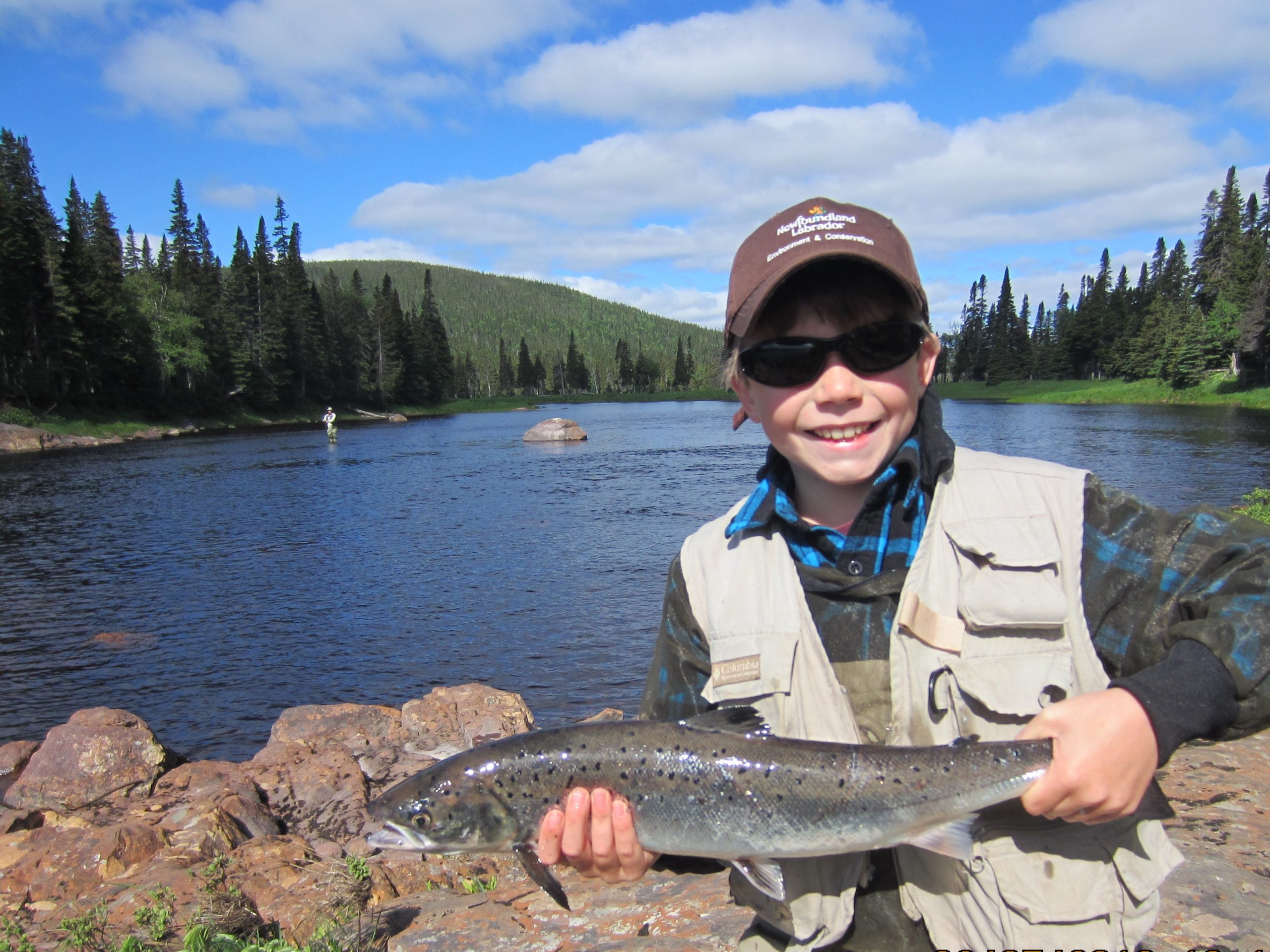
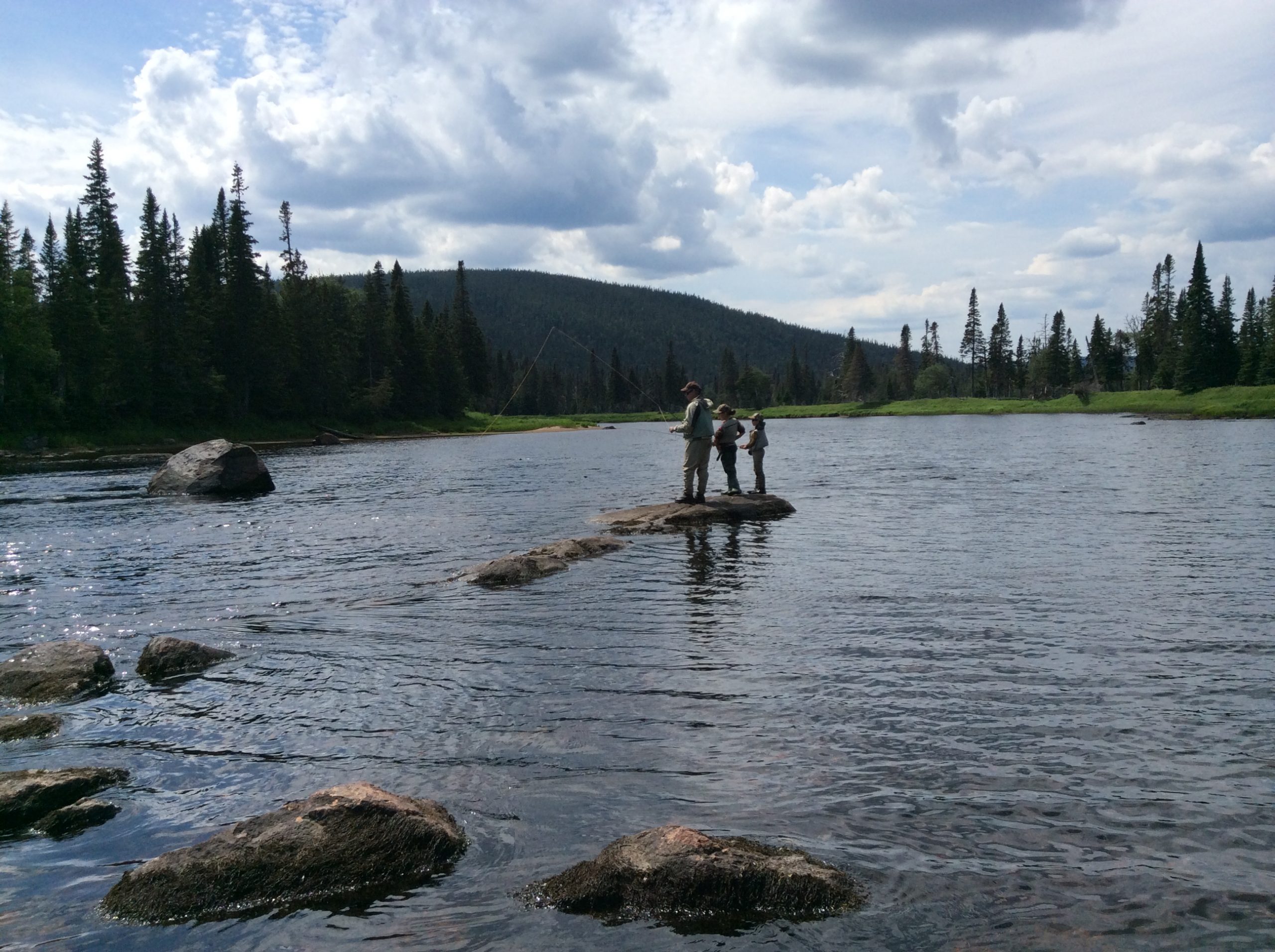
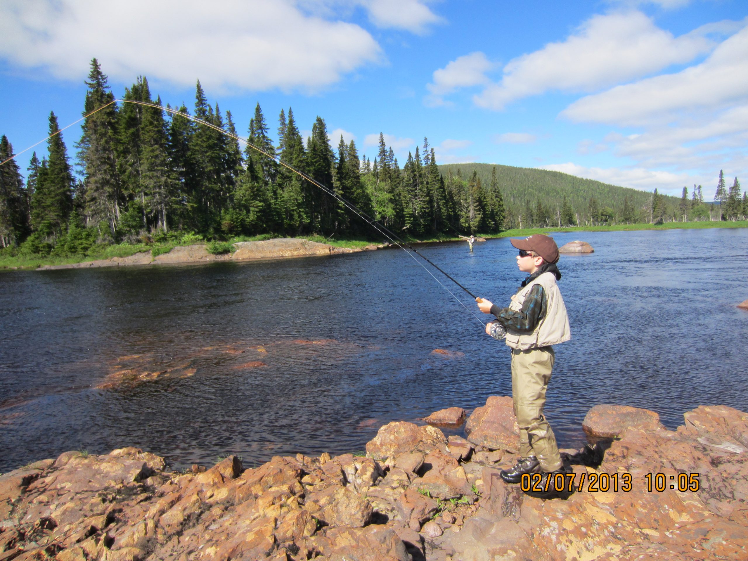
Angling
The Main has been carving a path to the sea for millennia and the whole river is teeming with Atlantic salmon. The Big Steady Unit and the Flats, located in the Deep Valley Unit, are great places to cast your fly. You should have no trouble hooking a big one; landing it is another story! Angling is permitted within all provincial parks. Please note that anglers require a provincial salmon license and non-residents also require a trout license. Both can be purchased in most convenience stores. Visitors are responsible for following all regulations, to find out more, visit Fisheries and Oceans Canada.
Backcountry Camping
Main River Waterway Provincial Park offers great opportunity for backcountry camping. As a wilderness park, the Main River requires its visitors to leave only footprints. Except for at the mouth of the river, there are few services along the length of the Main River. Please note that if you are washing any clothes or dishes, be sure to use phosphate free soaps and detergents as these chemicals are toxic for fish and other underwater life.
Bird Watching
Main River Waterway Provincial Park is a bird watchers dream. Here you can spot Canada Geese, Osprey and several species of duck. Bald Eagles and Greater Yellowlegs are also often spotted near the river. In the nearby barrens you may catch a glimpse of Rock Ptarmigan and in the wetland areas Northern Harriers and Swamp Sparrows abound. This watershed is an important area for Gray-cheeked Thrush and Olive-sided Flycatchers can also be seen; both threatened. You may also catch a glimpse of Rusty Blackbirds, a vulnerable species. You’ll not want to be without your binoculars and be sure to listen for their delightful songs and calls.
Campfire
A fire pit is located at Paradise Pool and nothing quite says camping like an open fire on a starry night. The perfect way to end your day; toasting a marshmallow or roasting a hot dog, reflecting on your adventures as the sound of the crackling fire echoes through the trees. Be sure to build your fire safely and ensure it is out when you are done.
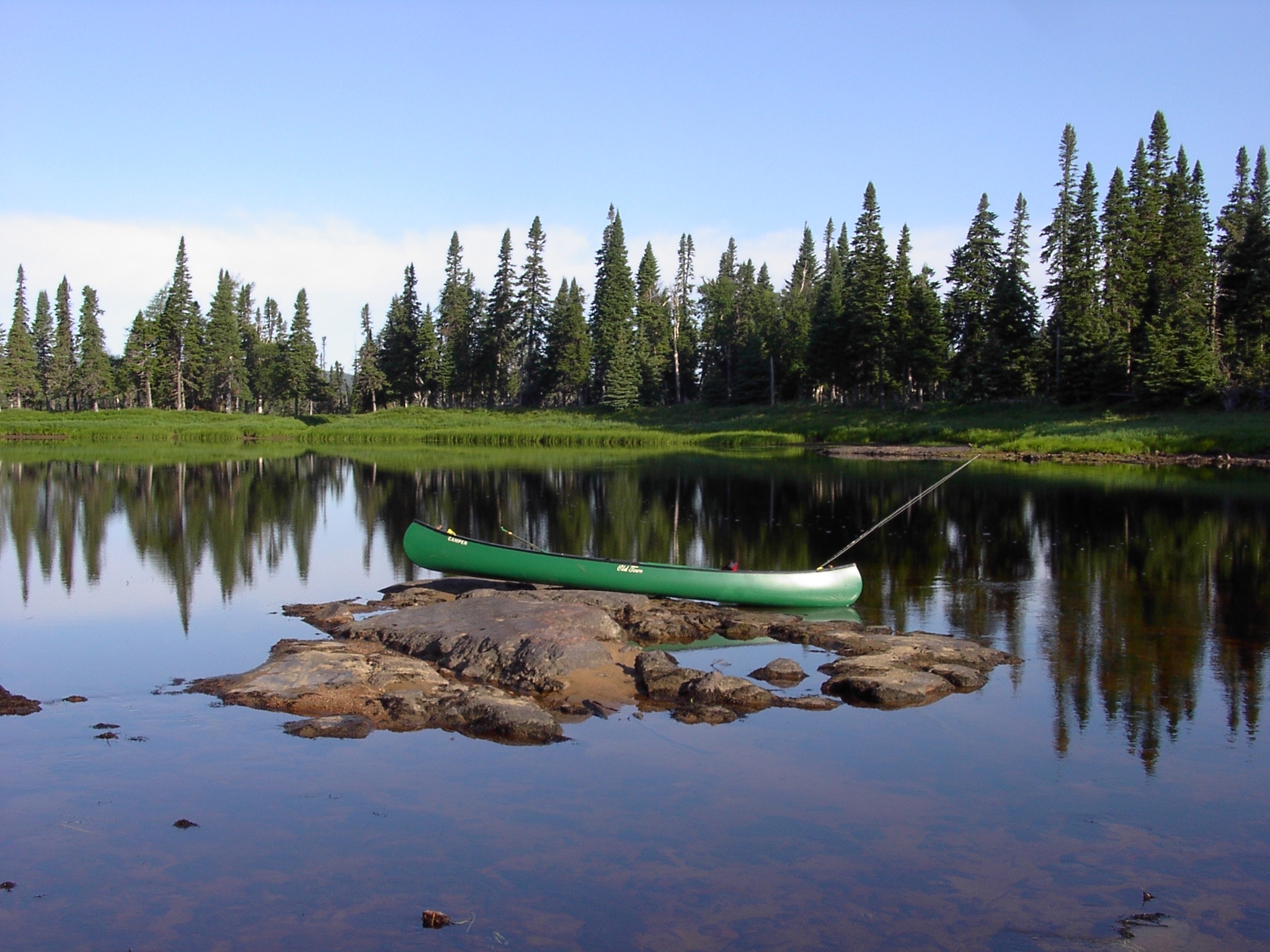
Canoeing
The mighty Main River is a favourite of experienced canoeists – especially those looking for a white-water experience. Its rapids run from Class 1 to Class 3 difficulty and portage trails are very rough. Visitors should also take note that the river experiences major water-level fluctuations and the Water Resources Division maintains a water-flow meter in the Big Steady Unit. Low levels will mean you’ll be spending time portaging that canoe over boulders, particularly in the Upper River Unit. The Deep Valley Unit is only suitable for canoeing when the water level is at 20 m3 per second. Any other levels make this remote route too dangerous for even the most skilled. By taking the proper precautions, however, you can set out on the water to enjoy an unparalleled experience and a memorable river ride.
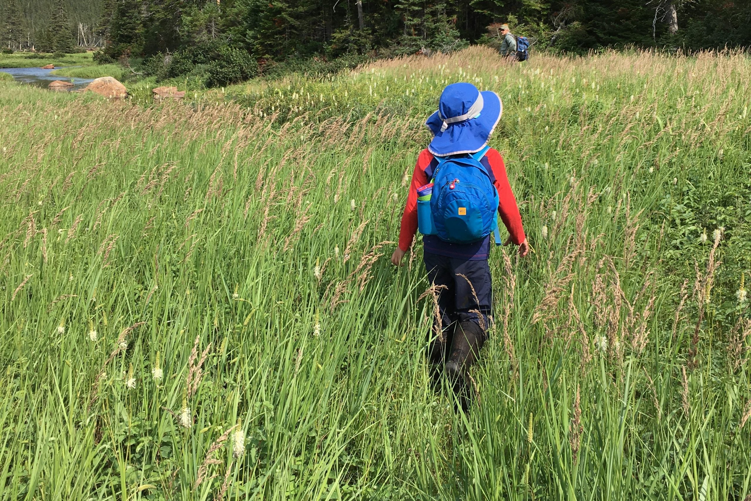
Hiking and Walking
There are several challenging hiking trails that can bring you to varying points along the Main River, providing an excellent opportunity to explore these old-growth forests.
The Big Steady Portage Trail can be accessed by Taylor’s Brook Road, a 25 kilometre wood-harvesting road off Route 420 near the community of Sop’s Arm. Leaving from the south side of the river, this rough trail is 5.7 kilometres, taking about 2.5 to 3 hours.
The Four Ponds area can be reached by a 30 minute hike along an access road built to support the construction of the Muskrat Falls transmission line.
Paradise Pool Trail starts at kilometer 13 on the woods road that crosses the Main River. Paradise Pool Trail is a rough, 4.9 km trail (one way) with no bridges.
Northern Feeder Hiking Trail is a half kilometre trail that leaves from kilometer 1 along the woods road on the north side of the river.
Conditions will likely be wet so sturdy, waterproof footwear are a must. Hiking in this area is also seasonal, to say the least, with the best conditions occurring in August when water levels are low (less than 7 m3 per second). Outside this time and these circumstances, hiking is particularly difficult.
Hunting
Hunting and trapping is permitted in the Main River Waterway Provincial Park. These untamed woods are teeming with wildlife and visitors with the proper permits and licences are able to hunt waterfowl, small game and big game as well as trap and snare furbearers. Visitors are required to follow all firearm and hunting safety rules and precautions. For more information see NL Hunting and Trapping Guide
Kayaking/Rafting
Canoers aren’t the only ones drawn to the mighty Main River; kayakers and rafters also love these challenging waters. It’s recommended, however, that only experienced paddlers set off, as rapids here run from Class 1 to Class 3 difficulty and portage trails are very rough. Visitors should also take note that the river experiences major water-level fluctuations and the Water Resources Division maintains a water-flow meter in the Big Steady Unit. Low levels will mean you’ll be spending time portaging your craft over boulders, particularly in the Upper River Unit. The Deep Valley Unit is only suitable when the water level is at 20 m3 per second. Any other levels make this remote route too dangerous for even the most skilled. By taking the proper precautions, however, you can set out on the water to enjoy an unparalleled experience and a memorable river ride.
Photography
The rushing waters of the Main River make an excellent backdrop for the enthusiast photographer. Whether you are capturing a panoramic view of the Big Steady, the river flowing through thick forest or the rapids surging into the Atlantic Ocean near Sop’s Arm, you won’t be long filling up an SD card. In fact, you might want to bring along a couple extra.
Picnics
At Paradise Pool, there is a back country campsite with one picnic table, a fire pit and outhouse facilities on a grassy meadow. Picnic tables can also be found at six additional locations along the river; perfect spots to stop, catch your breath and soak up the natural beauty. Pack some snacks and treat yourself to a feast for the body and the soul.
Snowmobiling
Winter here can pack a wonderful wallop. And on the Main River, the snow conditions for snowmobiling are more than ideal. And the best part is, around these parts winter is here for the long haul; sometimes lasting from January right through to May. And there are plenty of paths to explore. A snowmobile trail heads west from Sop’s Arm leads to Four Ponds, with diversions along six of the river’s beautiful tributaries.
Snowshoeing
Winter recreation is an experience all its own and our parks look pristine when covered in a crisp blanket of white. Strap on a pair of snowshoes and see this winter landscape in all its splendour, accented by the gentle crunch of your footsteps.
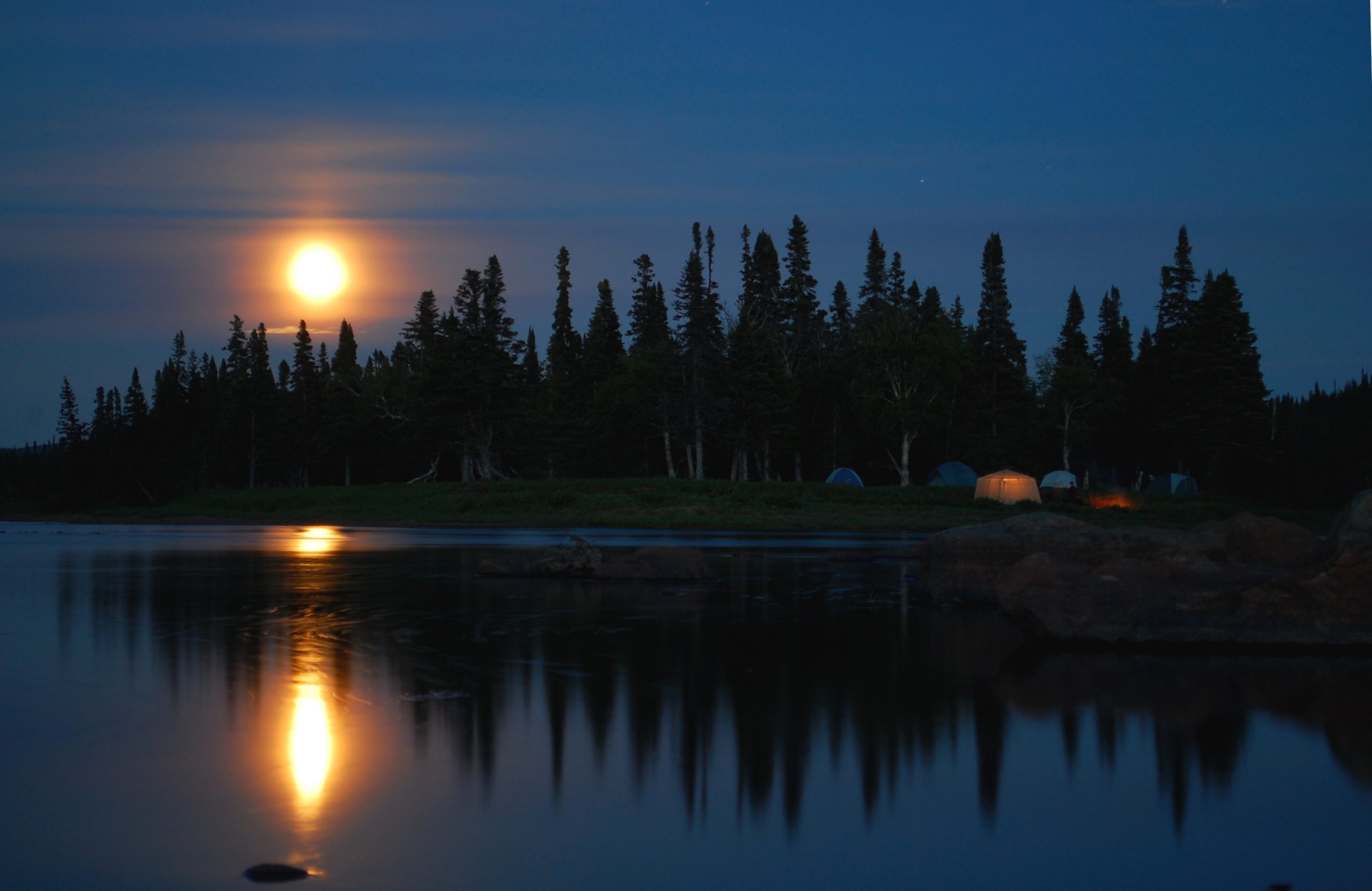
Stargazing
Around here, when the sun sets, the light show begins. And the lack of artificial light means you’ll have no trouble spotting your favourite constellations as the stars twinkle and shine down from above. Bring along a telescope and take it all in to the sound of the river rushing by.
Waterfall
If it takes more than rushing rapids to impress you, there’s nothing quite like the roar and spray of a waterfall. There are three falls along the Main River. The first and only waterfall located directly on the river itself is Sunshine Falls at Sunshine Pool. A second can be found in the Deep Valley Unit flowing from the south side of the river used often by kayakers as a sort of natural water slide. The third is found in the Rapid River Unit, near the delta on the Northern Feeder tributary. This series of lovely waterfalls and pools can also be accessed by the half kilometre Northern Feeder Hiking Trail.
Wildlife Watching
If it feels like you aren’t alone in these forests, you’re right! On the barrens you may encounter caribou or coyote. The forests are the domain of moose, black bear, beaver, and the elusive lynx. These old-growth woods also provide core habitat for the threatened and notoriously curious Newfoundland marten. On the river you may spot the occasional river otter as well. The best time to experience wildlife in the park is in the morning or evening; keep quiet and keep your eyes peeled.
Prohibitions
Do Not Disturb
Please note that everything in a provincial park is protected; from the smallest rock to the largest tree. For that reason, introducing and/or removing any natural items is prohibited. That piece of kelp or colourful rock might look nice on your mantle, but they belong in the park.
No Cutting Trees
Services
Outhouse
Outhouse facilities are located at Paradise Pool and Sunshine Falls and at the steel bridge. This bridge is located 13 kilometres off Route 420, along the woods road on the north side of the Main River and west of Sop’s Arm.
Parking
There is parking at the steel bridge, the Flats and the Northern Feeder Hiking Trail.
Portage Trail
The Big Steady Portage Trail can be accessed by Taylor’s Brook Road, a 25 kilometre wood-harvesting road off Route 420 near the community of Sop’s Arm. Leaving from the south side of the river, this rough trail is 5.7 kilometres and takes about 2.5 to 3 hours. Hiking in this area is also seasonal, to say the least, with the best conditions occurring in August when water levels are low (less than 7 m3 per second).
Natural History
Main River Waterway Provincial Park is located in the Eastern Long Range subregion of the Northern Peninsula Forest ecoregion. Here you can find rich forests of black spruce and balsam fir. The river itself rises approxiately 675 metres above sea level and runs 57 kilometres through varying gorgeous landscapes. It has five distinct sections as follows.
The Four Ponds Unit is about 6.5 kilometres in length and travels through four ponds at its headwaters. Here you’ll see rolling forested hills and, in contrast, stretches of open barrens.
The next ten kilometres are the Upper River Unit, encompassing a forest of mature balsam trees and steep river banks, ending with a six kilometre boulder garden.
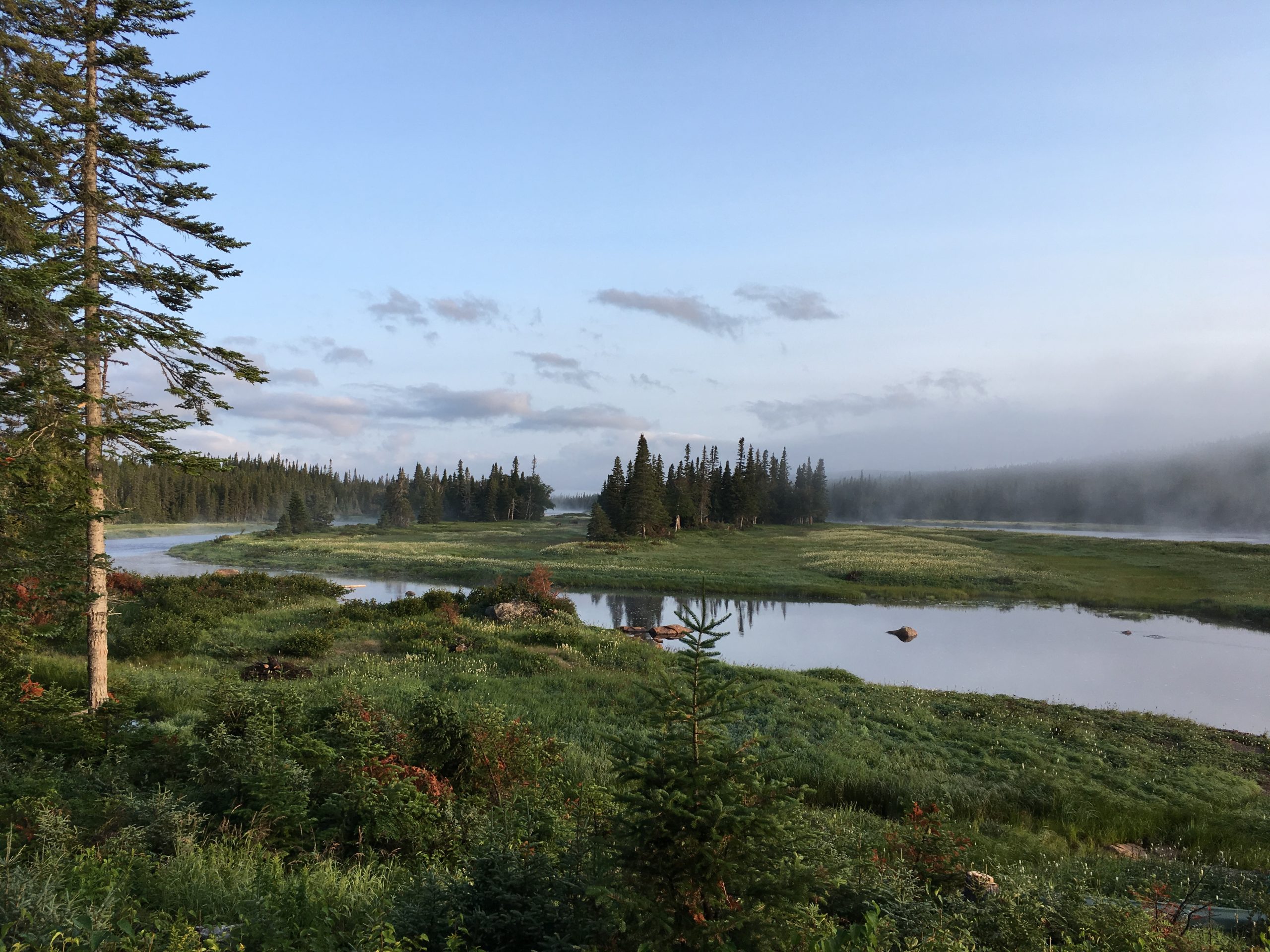
The Big Steady Unit then winds through grasslands for eight flat kilometres of gorgeous natural beauty. Those grasslands will slowly blend into two-century old birch and spruce stands with some trunks reaching 75 centimetres in diameter!
The environment may gradually change but the river is certainly picking up speed as you enter into the well-named Rapid River Unit. This stretch runs for eight kilometres, descending at a rate of 7 metres per kilometre. For canoeists, this unit has a Class-3 difficulty. Here you can also see a rushing waterfall running into the river from the Northern Feeder.
The river doesn’t slow as you enter the Deep Valley Unit. A step-sided rocky canyon surrounds 25 kilometres of Class 1-3 difficulty rapids, rushing to the sea at Sop’s Arm.
For additional information on the natural history of this park in the Northern Peninsula Forest ecoregion, please refer to the Eastern Long Range subregion brochure.